naturebriefs
10:46in productionCh. 1 · Size and shape/ 10:46 · ceiling 15 min
Habitats

Kamchatka Peninsula

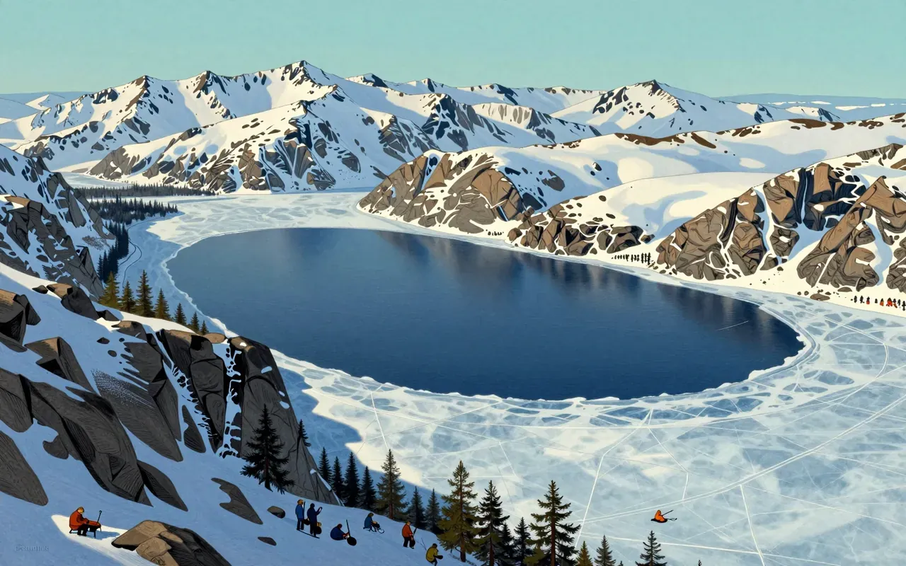
The most volcanic landmass in Eurasia — where bears grow large because the land is too restless for people.

A habitat brief for the Kamchatka Peninsula, grounded strictly in verified geographic and climatic facts. No speculation. No anthropomorphism. No conservation status, population figures, or behavioural claims beyond what is documented. Focuses on physical structure, boundary conditions, and observable ecological consequence.

Chapters & takeaways6
  1. 0:52
    Size and shape

    It is 1,250 km long and covers 270,000 km² — a scale that enables ecological separation across climate zones.

  2. 2:14
    Marine boundaries

    It is squeezed between the Sea of Okhotsk and Bering Sea, with the Kuril–Kamchatka Trench plunging 9,600 m offshore.

  3. 3:30
    Climate stacking

    Precipitation hits 2,700 mm/year while Köppen zones stack from subarctic (Dfc) to ice cap (EF) in vertical succession.

  4. 4:50
    Volcanic density

    Nineteen active volcanoes anchor a UNESCO World Heritage Site — the most volcanic area of Eurasia.

  5. 6:05
    Bear abundance

    Brown bears thrive here not because of protected status alone, but because human presence remains sparse across this unstable terrain.

  6. 7:28
    Habitat logic

    No single factor explains Kamchatka — it is the collision of marine depth, volcanic frequency, precipitation volume, climate layering, and biological consequence.

Worth your time?

Yes. See the whole thing.

4.5/ 5
What works
  • habitat-mapping
  • volcanic-ecology
  • brown-bear-fieldwork
What does not
  • human-history
  • conservation
  • evolution
  • extinction
See it if
  • field-biologists
  • geologists
  • conservation-planners
Skip it if
  • tourists
  • urban-naturalists
  • policy-advocates
The written brief1 min read

What the species is and where it came from

The Kamchatka Peninsula is not a species. It is a 1,250-kilometre-long, 270,000-square-kilometre landmass in the Russian Far East.

How it works, in terms someone would actually use

The Kamchatka Peninsula works as a geologically volatile, climatically layered habitat — bounded by the Sea of Okhotsk and Bering Sea, fed by up to 2,700 mm of annual precipitation, and structured by subarctic, polar, and ice cap zones.

What it gets right

It gets right the coexistence of ice cap summits and hyper-wet coastal forests in one landmass. It gets right the concentration of active volcanoes — 19 within a single UNESCO designation — unmatched elsewhere in Eurasia.

What it does not

It does not support dense human habitation. It does not buffer climate extremes. It does not offer stable terrain — 19 active volcanoes ensure constant geothermal flux and landscape renewal.

What it changed

It changed how UNESCO defines volcanic heritage: the peninsula anchors the ‘Volcanoes of Kamchatka’ World Heritage Site, the most volcanically active region on the Eurasian continent.

Who it is for, and who it is not

It is for field biologists tracking brown bear behaviour across volcanic tundra, geologists mapping Ring of Fire dynamics, and conservation planners assessing UNESCO site integrity. It is not for those seeking accessible trails, infrastructure, or low-risk fieldwork.

Is it worth your time

Yes — if you need a landscape defined by volcanic density, extreme moisture gradients, and brown bear abundance, not by human settlement or managed ecology.
Same habitat · Habitats4 of 107
8:09
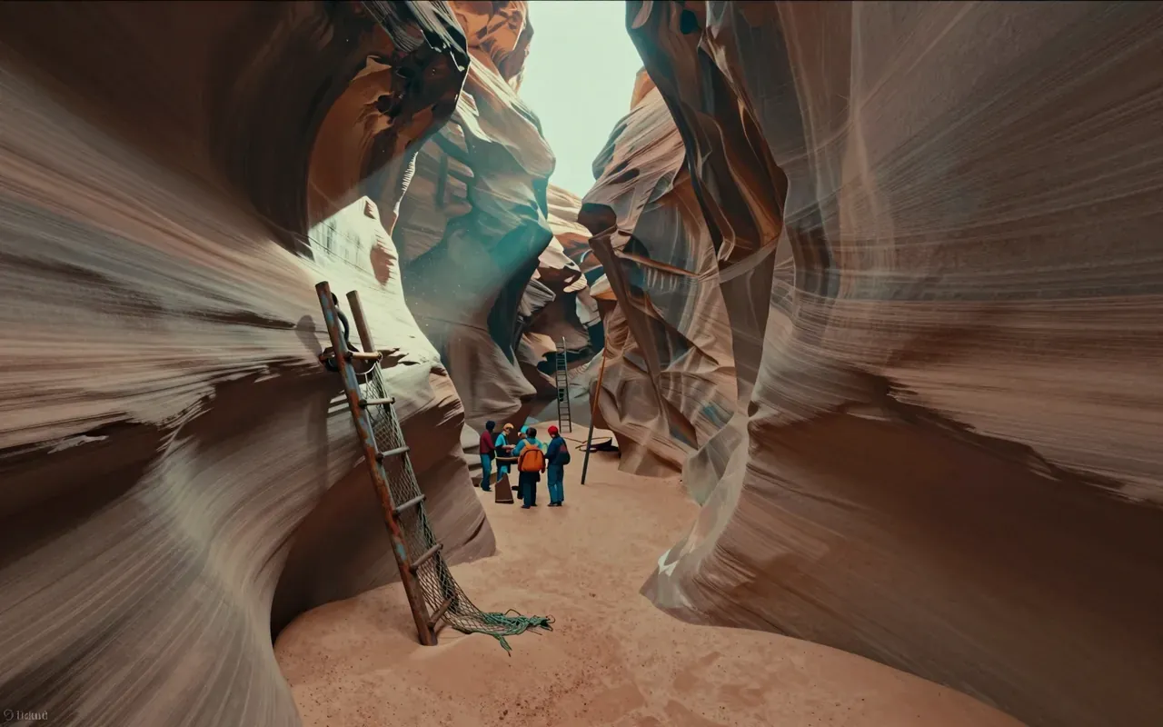
Antelope CanyonAntelope Canyon is a slot canyon on Navajo land in the American Southwest, formed by flash flood erosion of Navajo Sandstone. Monsoon rainwater carries sand into narrow passageways, deepening corridors and smoothing edges into flowing shapes. A flash flood on August 12, 1997 killed eleven tourists in Lower Antelope Canyon — triggered by an upstream thunderstorm 7 miles away. That event replaced amateur wood ladders with bolted systems and cargo nets. Today, a NOAA Weather Radio and alarm horn stand at the fee booth to warn of incoming floods. The canyon remains dangerous, managed, and visually singular.
10:00
TundraThe tundra is a biome defined by frigid temperatures and short growing seasons that inhibit tree growth. It occurs in three regional forms — Arctic, Alpine, and Antarctic. Its vegetation comprises low-growing plants such as dwarf shrubs, sedges, grasses, mosses, and lichens. Soils are nutrient-rich (nitrogen, phosphorus) and store vast amounts of carbon in permafrost, acting as a carbon sink — but warming-induced thaw releases greenhouse gases, creating a climate feedback loop.
9:39
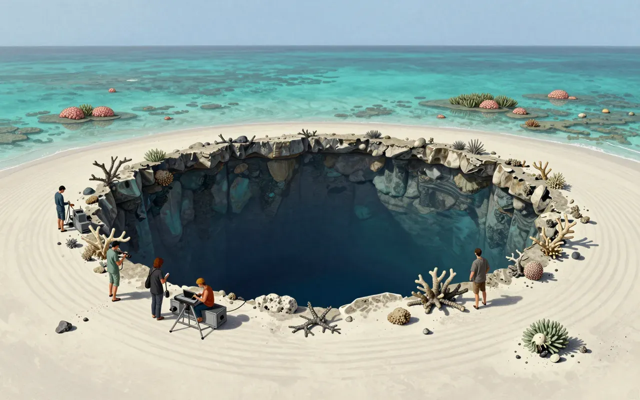
Blue holeBlue holes are marine sinkholes in carbonate bedrock, formed during ice ages when lower sea levels exposed limestone to rain and chemical weathering. They contain tidally influenced but poorly circulated water — fresh, marine or mixed — with sharp haloclines and anoxic deep zones that host bacteria but exclude most marine life. Their high transparency and white carbonate sand produce the signature deep blue colour. They differ from cenotes by holding seawater, not freshwater. They serve as sediment traps preserving climate and fossil records.
8:12
Bryce Canyon National Park1928Bryce Canyon National Park (1928) is a U.S. national park in southwestern Utah. It lies on the Paunsaugunt Plateau within the Colorado Plateau. Its defining features are amphitheater-shaped erosional basins—not canyons—and hoodoos formed by frost weathering and stream erosion of Cenozoic sedimentary rock. Colours derive from hematite (orange), limonite (yellow), and pyrolusite (purple). It experiences a Dsb continental climate. Elevations range from 6,620 to 9,105 feet.
Up next in Nature

Lake Baikal

· 10:24

The world’s oldest, deepest, and largest freshwater lake is also its most fragile evolutionary vault.

10:24