naturebriefs
9:31in productionCh. 1 · Ancient Sea Floor/ 9:31 · ceiling 15 min
Habitats · Systems

Mammoth Cave National Park

1941

The world’s longest cave isn’t defined by length — it’s a stratigraphic archive, dry at the top, wet below, and silent on everything but dissolution.

Mammoth Cave National Park (1941) protects the world’s longest known cave system — a stratigraphically ordered, hydrologically staged, sandstone-capped karst landscape in south-central Kentucky. It formed in Mississippian marine sediments, records five millennia of human use, hosts bats and troglobites, and preserves dry upper passages due to its impermeable caprock. It does not support speleothem growth in those upper zones. Its significance lies in clarity — of geology, timing, and preservation — not spectacle.

Chapters & takeaways4
  1. 0:51
    Ancient Sea Floor

    Kentucky was an ancient sea — and Mammoth Cave is its fossilised seabed.

  2. 2:12
    Epikarst by Crack

    Water only entered where the sandstone cracked — and dissolved limestone too thin to see.

  3. 3:56
    Two-Stage Stratigraphy

    Cave formation happened in two clear phases — Girkin infiltration at 10 Ma, upper passages at 3.2 Ma — with the Main Cave sitting precisely at their contact.

  4. 5:36
    Dry Passages, No Formations

    The sandstone caprock starved upper passages of water — so they stay dry, empty of stalactites, and frozen in time.

Worth your time?

Yes. See the whole thing.

4.5/ 5
What works
  • preserves five millennia of human use
  • records stratigraphic and hydrologic stages of cave development
  • protects rare troglobites and significant bat populations
  • exposes marine fossil evidence of ancient Kentucky seas
What does not
  • host active speleothem growth in upper passages
  • offer ecological novelty beyond documented bat and troglobite communities
  • provide continuous water-driven cave features
See it if
  • geologists
  • cavers
  • deep-time thinkers
Skip it if
  • those seeking dramatic formations
  • those expecting continuous drip-water features
The written brief1 min read

What the species is and where it came from

Mammoth Cave National Park is not a species. It is a landform: a protected karst landscape in south-central Kentucky, formed in Mississippian-age sedimentary rocks — limestone, dolomite, siltstone, shale — capped by sandstone, under a humid subtropical climate.

How it works, in terms someone would actually use

Water seeped through vertical cracks in the Big Clifty Sandstone caprock, dissolved thin limestone layers to form epikarst, then infiltrated deeper strata — first the Girkin Formation ~10 million years ago, then the upper cave passages ~3.2 million years ago.

What it gets right

It preserves five millennia of human use alongside rare troglobites and significant bat populations — all within a single, stratigraphically legible cave system shaped by marine deposition, dissolution, and climate.

What it does not

It does not host active speleothem growth in its oldest upper passages — the sandstone caprock prevents water infiltration, so no stalactites or stalagmites form there.

What it changed

It redefined scale in karst science: the world’s longest known cave system, stratigraphically ordered, hydrologically staged, and capped by a sandstone layer that preserved ancient dry passages.

Who it is for, and who it is not

It is for geologists, cavers, and deep-time thinkers. It is not for those seeking dramatic formations, continuous drip-water features, or ecological novelty beyond its documented bat and troglobite communities.

Is it worth your time

Yes — if you want to stand inside a geologic timeline written in rock, dry passage and fossil sea floor.
Same habitat · Habitats4 of 107
8:09
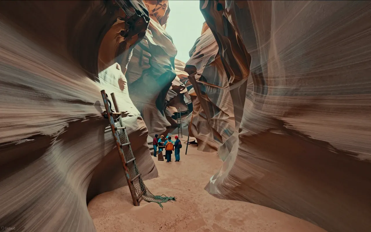
Antelope CanyonAntelope Canyon is a slot canyon on Navajo land in the American Southwest, formed by flash flood erosion of Navajo Sandstone. Monsoon rainwater carries sand into narrow passageways, deepening corridors and smoothing edges into flowing shapes. A flash flood on August 12, 1997 killed eleven tourists in Lower Antelope Canyon — triggered by an upstream thunderstorm 7 miles away. That event replaced amateur wood ladders with bolted systems and cargo nets. Today, a NOAA Weather Radio and alarm horn stand at the fee booth to warn of incoming floods. The canyon remains dangerous, managed, and visually singular.
10:00
TundraThe tundra is a biome defined by frigid temperatures and short growing seasons that inhibit tree growth. It occurs in three regional forms — Arctic, Alpine, and Antarctic. Its vegetation comprises low-growing plants such as dwarf shrubs, sedges, grasses, mosses, and lichens. Soils are nutrient-rich (nitrogen, phosphorus) and store vast amounts of carbon in permafrost, acting as a carbon sink — but warming-induced thaw releases greenhouse gases, creating a climate feedback loop.
9:39
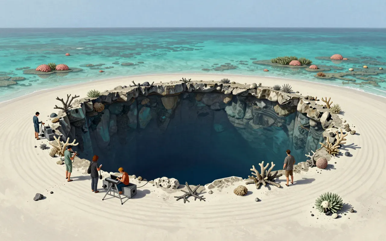
Blue holeBlue holes are marine sinkholes in carbonate bedrock, formed during ice ages when lower sea levels exposed limestone to rain and chemical weathering. They contain tidally influenced but poorly circulated water — fresh, marine or mixed — with sharp haloclines and anoxic deep zones that host bacteria but exclude most marine life. Their high transparency and white carbonate sand produce the signature deep blue colour. They differ from cenotes by holding seawater, not freshwater. They serve as sediment traps preserving climate and fossil records.
8:12
Bryce Canyon National Park1928Bryce Canyon National Park (1928) is a U.S. national park in southwestern Utah. It lies on the Paunsaugunt Plateau within the Colorado Plateau. Its defining features are amphitheater-shaped erosional basins—not canyons—and hoodoos formed by frost weathering and stream erosion of Cenozoic sedimentary rock. Colours derive from hematite (orange), limonite (yellow), and pyrolusite (purple). It experiences a Dsb continental climate. Elevations range from 6,620 to 9,105 feet.
Up next in Nature

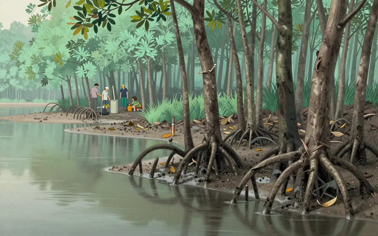
Mangrove

· 9:31

Mangroves don’t just survive the sea — they rewrite its boundary.

9:31