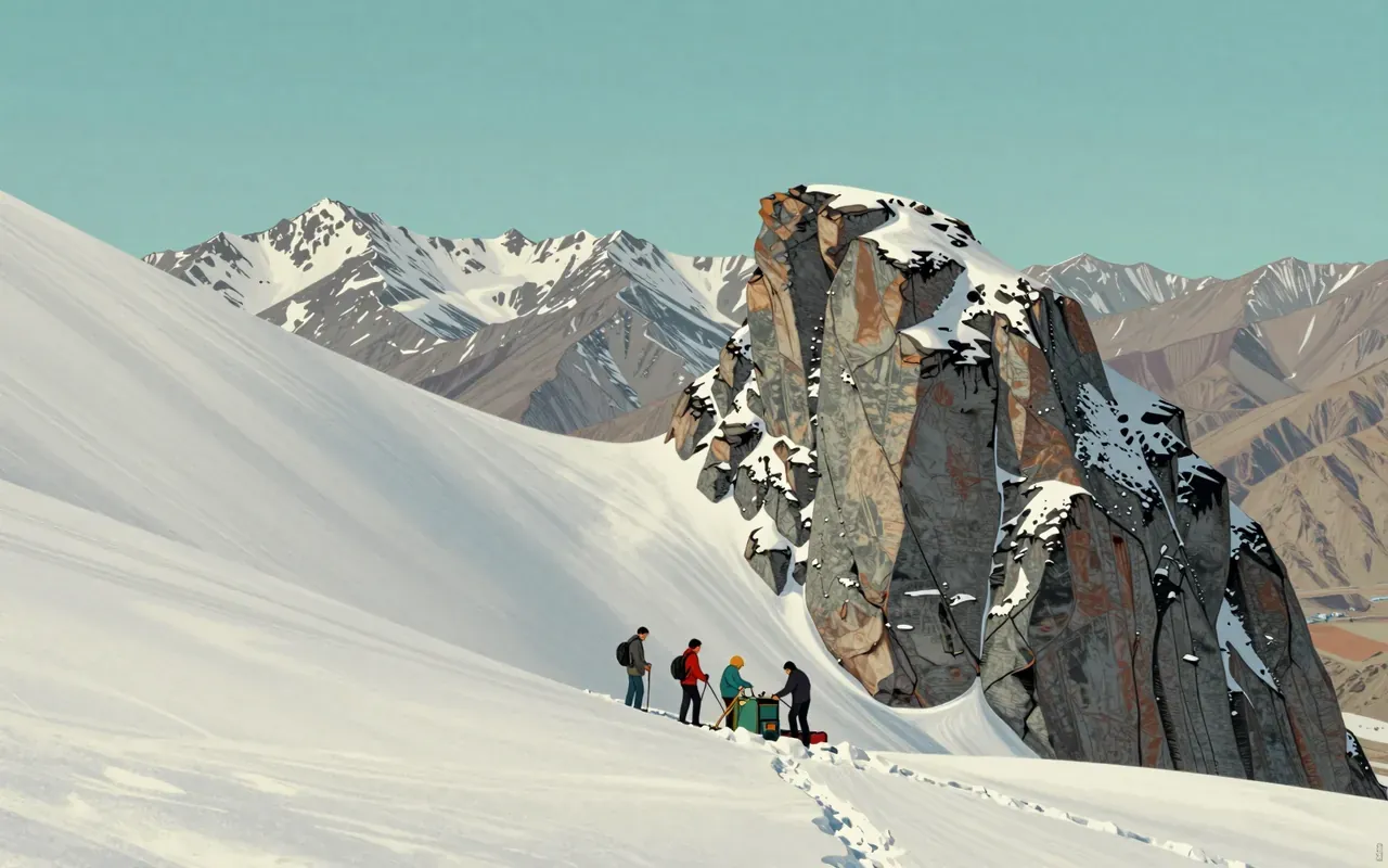
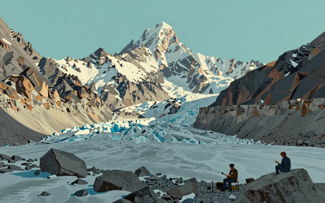
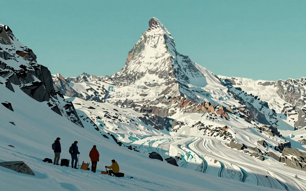
Mount Everest is the highest mountain on Earth above sea level. It lies on the China–Nepal border in the Mahalangur Himal. Its height has been measured repeatedly: 8,840 m in 1856; 8,847.73 m in 1954; 8,848.13 m in 1975; 8,844.43 m (rock head) in 2005; and 8,848.86 m in 2020. Its geology includes Ordovician limestone, Cambrian marble, and leucogranite. Its climate is ice cap (Köppen EF). The summit lies in the 'death zone'.
Everest was first declared the world’s highest mountain in 1856 — not by climbing it, but by trigonometry from 150 km away.
2:16
The calculation that named it
An Indian mathematician, Radhanath Sikdar, calculated Everest’s supremacy in 1852 — using data collected by British surveyors.
3:41
Two heights, one peak
Snow cap and rock head differ by 3.7 metres — a gap that split Nepal and China’s definitions for fifteen years.
4:46
The 2020 agreement
In 2020, Nepal and China jointly announced 8,848.86 m — the first time both nations agreed on a single, official height.
6:12
A number in constant revision
Every major survey since 1952 has revised Everest’s height — never by more than 0.4 m, but always with new methodology.
7:33
Sea level is the real summit
Its status as ‘highest above sea level’ depends entirely on where sea level is defined — not on the mountain itself.
3 more chaptersFewer chapters
Worth your time?
Yes. See the whole thing.
3.5/ 5
What works
defines elevation operationally
exposes how measurement conventions reflect sovereignty
demonstrates iterative refinement of a single metric
What does not
support life at the summit
function as habitat
influence regional ecology per sources
See it if
geodesists
surveyors
policy-makers negotiating transboundary metrics
Skip it if
naturalists
ecologists
field biologists
Who should see it, and who should skipHide who it is for
The written brief1 min read
What the species is and where it came from
Mount Everest is not a species. It is a mountain. It formed from the India–Asia continental collision. Its range is the Mahalangur Himal sub-range of the Himalayas. Its location is on the China–Nepal border.
How it works, in terms someone would actually use
Mount Everest is a landform. It does not ‘work’ like a machine or organism. It exists as a geologically active, glaciated peak shaped by tectonic collision and erosion.
What it gets right
It gets right the principle that elevation must be defined operationally: snow-cap height (Nepal’s standard) and rock-head height (China’s 2005 standard) are both valid, depending on purpose.
What it does not
It does not establish ecological function. No source describes its role in hydrology, biodiversity, or habitat provision. It does not support life at the summit.
What it changed
It changed how national authorities collaborate on geodetic standards. The 2020 joint Nepal-China announcement established a precedent for shared sovereignty over measurement of a transboundary landform.
Who it is for, and who it is not
It is for geodesists, surveyors, and policy-makers negotiating transboundary metrics. It is not for naturalists, ecologists, or field biologists — no source links it to flora, fauna, or ecosystem processes.
Is it worth your time
It is worth your time only if you seek to understand how height is measured, contested, and redefined across centuries — not as a destination, but as a metric.