Saved
Habitats · Systems

Challenger Deep

Earth’s deepest known point isn’t a single hole—it’s three aligned basins, mapped, measured, and descended—but it tells us nothing about life, heat, or time down there.

Worth your time?4.5/5Yes.See the whole thing.What works, what does not, who it is for ↓
8:47in productionCh. 1 · Not the trench. Inside it./ 8:47 · ceiling 15 min
4 chapters · 8:47Ceiling 15:00

The brief is written and checked. The video joins this page when it is cut.4 chapters · 1 min read · 8:47 planned

Read the brief

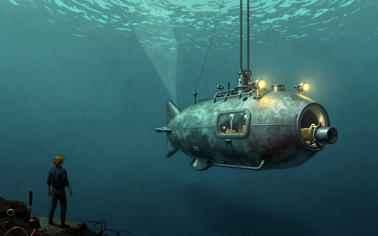
Challenger Deep is the deepest known point of Earth’s seabed. Verified measurements place it between 10,903 and 11,009 m deep. It consists of three slot-shaped basins oriented west-to-east, each over 10,840 m deep, within the larger Mariana Trench. Its depth was first located by HMS Challenger in 1875, confirmed by HMS Challenger II in 1952, and first reached by the bathyscaphe Trieste in 1960. Sonar mapping and manned descents in 2020 revealed undulating slopes, rocky piles, and pelagic ooze. It is located at 11°22.4′N 142°35.5′E in the ocean territory of the Federated States of Micronesia.

Chapters & takeaways4
  1. 0:58
    Not the trench. Inside it.

    Challenger Deep is not the whole trench—it’s a small, slot-shaped depression inside a much larger crescent-shaped oceanic trench.

  2. 2:24
    Three basins, not one

    It consists of three basins, each six to ten kilometres long, two kilometres wide, and over 10,840 m deep, arranged west-to-east like steps.

  3. 3:38
    Depth: measured, not guessed

    Its depth is precisely constrained: GEBCO places it between 10,903 and 11,009 m; a 2021 study gives 10,935 ± 6 m.

  4. 5:15
    Mapped in stages, not all at once

    It was first located in 1875, confirmed in 1952, reached in 1960—and its slopes, rocks, and pelagic ooze were revealed only in 2020.

1 more chapterFewer chapters
Worth your time?

Yes. See the whole thing.

4.5/ 5
What works
  • defines Earth’s seabed depth limit
  • documents methodological progression across 150 years
  • confirms reproducibility of extreme-depth measurement
What does not
  • establish ecological function
  • describe biological activity
  • indicate thermal or chemical properties
  • provide historical context beyond measurement history
See it if
  • oceanographers
  • geospatial engineers
  • marine cartographers
Skip it if
  • biologists
  • conservationists
  • climate scientists
Who should see it, and who should skipHide who it is for
The written brief1 min read

What the species is and where it came from

Challenger Deep is not a species. It is a geophysical feature: the deepest known point of Earth’s seabed, located in the western Pacific Ocean at the southern end of the Mariana Trench, within the ocean territory of the Federated States of Micronesia.

How it works, in terms someone would actually use

It is a set of three slot-shaped basins, each six to ten kilometres long and over 10,840 m deep, aligned west-to-east in the floor of the Mariana Trench.

What it gets right

It correctly identifies the deepest known point of Earth’s seabed—verified by repeated sonar mapping, manned descents, and peer-reviewed depth estimates converging near 10,935 ± 6 m.

What it does not

It does not represent the entire Mariana Trench. It is a small, discrete feature within a much larger crescent-shaped trench.

What it changed

It redefined the known limit of ocean depth. The 1875 HMS Challenger sounding first located it; the 1950–1952 HMS Challenger II expedition confirmed its record-setting depth; the 1960 Trieste descent proved humans could reach it.

Who it is for, and who it is not

It is for geographers, oceanographers, engineers, and anyone who needs precise, verified topographic data about Earth’s extreme depths. It is not for casual learners seeking narrative or ecological context.

Is it worth your time

Yes—if you need to know where Earth’s seabed reaches its absolute lowest point, and how that point has been measured, mapped, and visited.
Same habitat · Habitats4 of 130
10:28
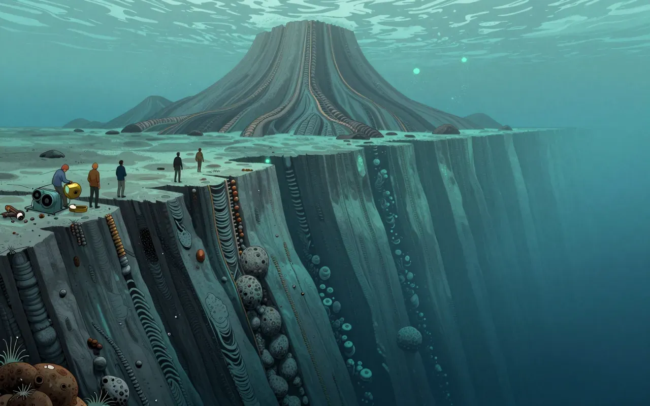
Mariana TrenchThe Mariana Trench is the deepest oceanic trench on Earth. It is crescent-shaped, ~2,550 km long and ~69 km wide. Its maximum known depth is 10,935 ± 6 m at the Challenger Deep. At the bottom, pressure is 1,086 bar and temperature is 1–4 °C. Microbial life and monothalamea have been found there. Human pollution—including plastic bags and PCBs—has been documented at full depth. The US established the Mariana Trench Marine National Monument in 2009.
11:11
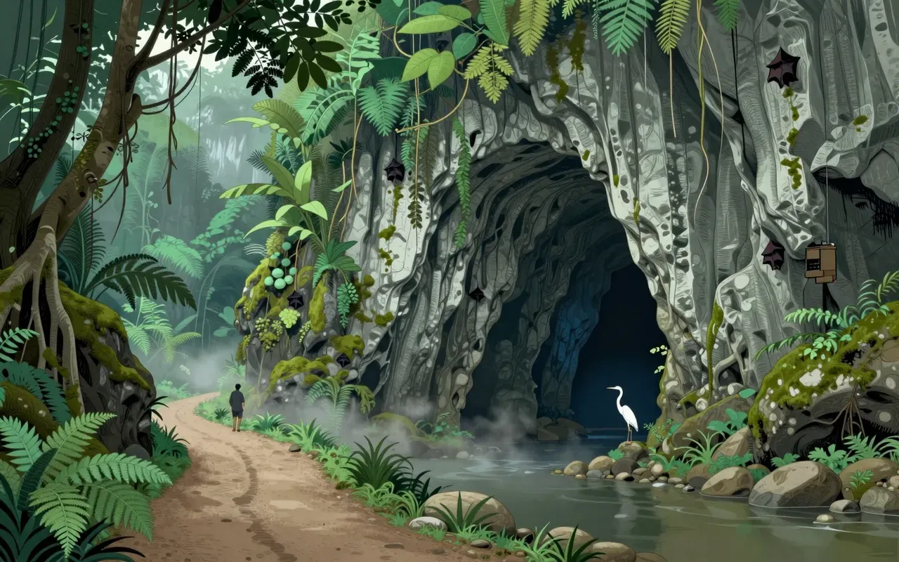
Hang Sơn Đoòng2000Hang Sơn Đoòng is the world's largest natural cave by volume, located in Phong Nha–Kẻ Bàng National Park, Quảng Trị province, Vietnam. It is a solutional cave formed in Carboniferous/Permian limestone, with a measured volume of 38,500,000 m³ (later increased by over 1,600,000 m³ after connection to Hang Thung was confirmed in mid-2019). Its passage exceeds 9 km in length, reaches up to 200 m in height and 150 m in width, and features dolines, massive stalagmites (up to 80 m), and cave pearls the size of baseballs. Discovered in 1990 by Hồ Khanh and re-located in 2008, it was first surveyed by the British Cave Research Association in 2009; subsequent expeditions in 2010 traversed the Great Wall of Vietnam to confirm its full extent. Access is strictly limited for conservation, with seasonal closures from September to December due to monsoon-related flooding risks.
8:16
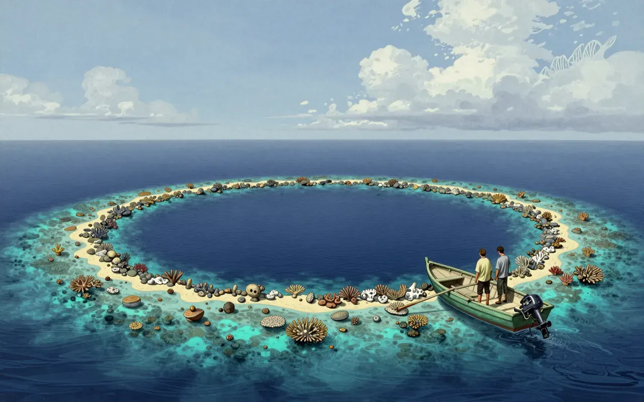
Great Blue HoleThe Great Blue Hole is a marine sinkhole off the coast of Belize. It formed above sea level during Quaternary glaciation in at least four stages, evidenced by ledges at 21 m, 49 m, and 91 m, and by stalactites dated to 153,000, 66,000, 60,000, and 15,000 years ago. As sea levels rose, the cave flooded. Retrieved stalactites confirm prior subaerial formation; some are tilted 5°, indicating tectonic tilting of the underlying plateau — land movement, not just sea-level rise.
9:19
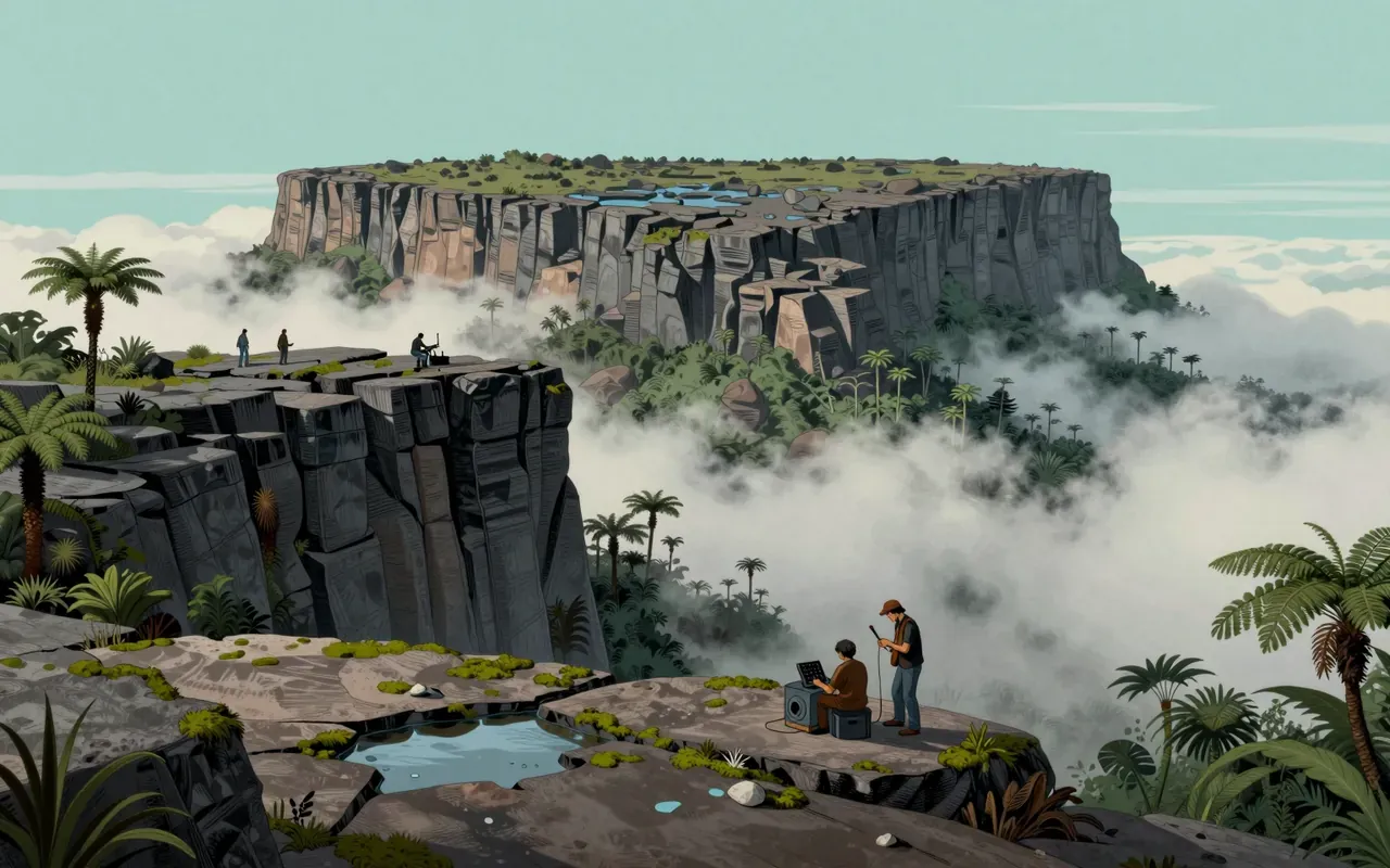
Mount RoraimaMount Roraima is a tepui at the tri-border of Brazil, Guyana, and Venezuela. Its summit is isolated, warm, and drenched by intense rainfall. The sandstone soil is highly acidic, nutrient-poor, and fine-grained. Leaching caused by intense rainfall has shaped the summit's topography. Geographical isolation has resulted in high endemism in flora and fauna. Western exploration began in the 19th century with a British expedition. Mount Roraima was first climbed by a British expedition in 1884. Despite subsequent expeditions, its flora and geology remain largely unknown. Due to late exploration and annual discovery of new species, the flora and fauna are largely unknown. Identified fauna are strongly endemic and at high risk of extinction. Intense rainfall prevents nutrient and particle fixation in the sandstone soil.
Up next in Nature

Cherry blossom

· 9:53

Cherry blossom is not a plant — it’s a public ritual made visible by selective breeding.

9:53